No. 042

RidgeText
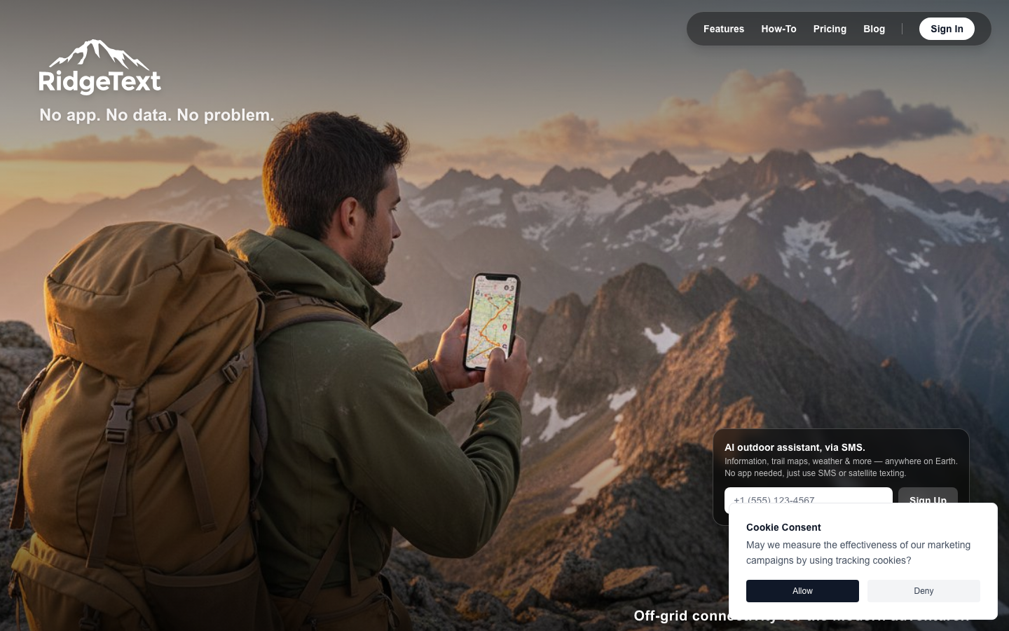
RidgeText is an outdoor assistant for all your adventures. It uses conversational AI to answer your questions. Send it a location for a topographical map, a forecast, wildfire and safety information, or what's nearby. It runs over plain SMS, so it still works where you have signal but no data, including satellite SMS.
Made by Allan Bogh.
Why it was made
Ask for a trail map by text
While I was camping in the backcountry with no access to the internet, and only satellite texting to message my family to get basic information, I realized that I could use SMS to ask a computer to get the information I needed. Using conversational AI, I could ask about current events, retrieve trail maps, ask about fire statuses in the area, retrieve the weather, and perform image analysis along with image editing and generation.
I realized as well that there are a number of people who get lost on trails and in the woods. This inspired the mapping and trail features so that a person can provide a location and get an accurate trail map, all through SMS or satellite texting, to help them find their way to safety.
The image analysis feature can be used to identify plants and animals, products, antiques, or Pokemon cards. We developed it for safety, making sure that it's honest and restricted.
The image editing feature is now one of the most fun. You can generate an image from your text, or upload one or more images through SMS and ask it to modify them. This allows you to take a landscape photo and make it pop, or edit out the tourists in your Old Faithful Yellowstone photo.
Details
- No.
- No. 042
- On Hunchmade since
- 13 September 2026
- Made with
- Claude · Google Gemini · Twilio
- Where it runs
- Browser and sms
- What it costs
- Free tier; paid plans from $4.99/month
- The link
- ridgetext.com